Satellites and AI used to track UK hedgehogs in bid to slow decline
Researchers at the University of Cambridge are utilizing satellite data and AI to address the decline of hedgehogs in the UK. The AI tool, Tessera, helps identify hedgehog habitats and the barriers they face. This initiative aims to combine satellite imagery with real-time tracking data to enhance conservation efforts for these animals.
- ▪Hedgehog populations in the UK have declined by up to 75% in rural areas since 2000.
- ▪The AI tool Tessera analyzes satellite images to determine hedgehog habitats and predict suitable environments.
- ▪Researchers are also using GPS trackers on hedgehogs, referred to as 'digi-hogs', to monitor their movements.
Opening excerpt (first ~120 words) tap to expand
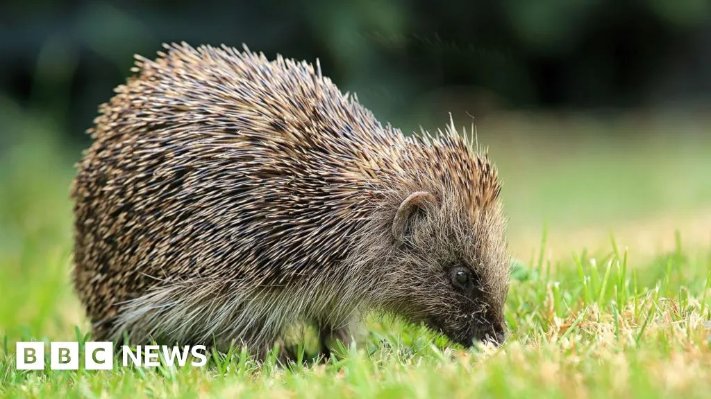
Satellites and AI used to track UK hedgehogs in bid to slow declineJust nowShareSaveAdd as preferred on GoogleZoe KleinmanTechnology editorGetty ImagesResearchers at the University of Cambridge are using satellite data and AI in an effort to slow the decline in Britain's hedgehog population.Using an AI tool called Tessera, which analyses detailed images of the UK gathered from space, experts can precisely determine locations of hedgehog habitats - and where these are disappearing.The resulting maps capture landscapes in minute detail, including down to individual hedgerows, while AI can accurately predict hedgehog-friendly places obscured by cloud cover.Those behind the project hope it will help to shed light not just on where hedgehogs live across the UK, but barriers preventing them…
Excerpt limited to ~120 words for fair-use compliance. The full article is at BBC News — Tech.
Discussion
0 commentsMore from BBC News — Tech