Show HN: Latlng – open-source geospatial object engine written in Rust
Latlng is an open-source geospatial object engine developed in Rust. Users can download release binaries from GitHub, which include the native server and CLI for various platforms. The installation process involves extracting the downloaded asset and starting the server binary.
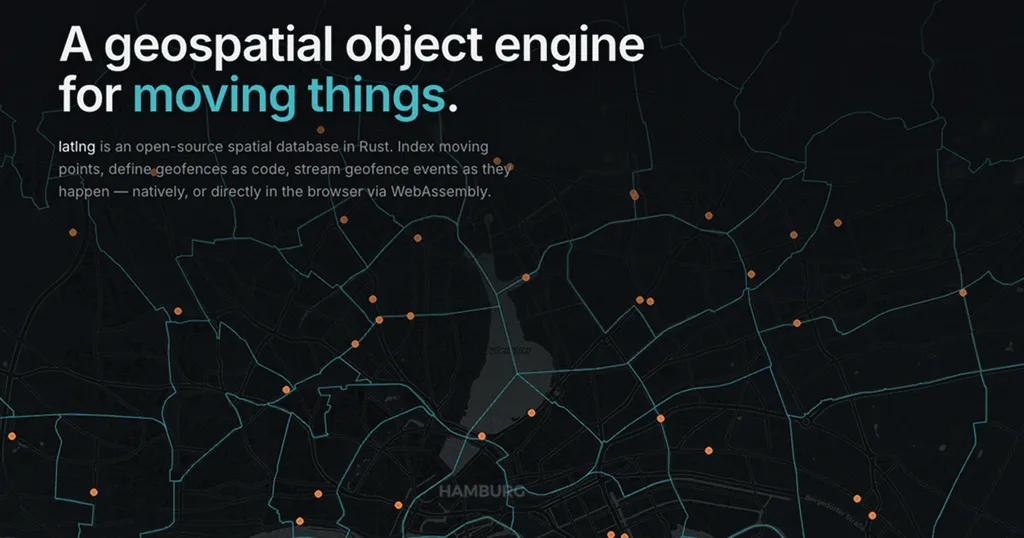
- ▪Latlng is an open-source geospatial object engine written in Rust.
- ▪Release binaries are available for Linux, macOS, and Windows platforms.
- ▪Users can download the server and CLI from GitHub and start the server easily.
Opening excerpt (first ~120 words) tap to expand
Release binaries Download from GitHub Release archives contain the native server and CLI. Pick the asset for your platform, extract it, and start the server binary. Assets are named linux-x64, macos-arm64, and windows-x64. curl -fsSL -o latlng-linux-x64.tar.gz \ "https://github.com/tobilg/latlng/releases/latest/download/latlng-linux-x64.tar.gz" tar -xzf latlng-linux-x64.tar.gz chmod +x latlng-server latlng-cli ./latlng-server
Excerpt limited to ~120 words for fair-use compliance. The full article is at latlng.
Discussion
0 commentsMore from latlng