European imaging companies step in to fill warzone gap
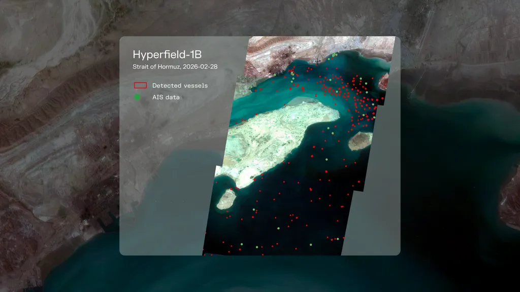
European Earth-observation companies are stepping in to provide satellite imagery as U.S. firms restrict access to visuals of Iran and the Gulf conflict. This shift has created new business opportunities for European firms, particularly in the energy sector, which relies heavily on such data. The situation has prompted increased interest from media organizations seeking reliable information about the Strait of Hormuz and its impact on global trade.
- ▪U.S. satellite imagery companies have pulled back from sharing visuals of Iran and the Gulf conflict.
- ▪European firms are filling the gap, receiving increased requests from energy traders, insurers, and media organizations.
- ▪The European Union's Copernicus program continues to operate without restrictions, providing a potential solution.
Opening excerpt (first ~120 words) tap to expand
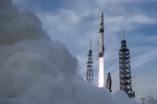
MILAN – As U.S. satellite imagery companies have pulled back from sharing visuals of Iran and the broader area around the Gulf conflict, European Earth-observation firms are moving to fill the vacuum. The new business is coming from global energy traders, insurers, shipping firms and news organizations, all of whom depend on commercial satellite imagery to monitor one of the world’s most sensitive waterways: the Strait of Hormuz. “In the energy sector, Earth observation data has become a core part of the business in the last five years,” Antoine Rostand, president and co-founder of French environmental intelligence company Kayrros, told SpaceNews. Sign up for First Up: Get the latest updates on SpaceX, Artemis, NASA and more.
…
Excerpt limited to ~120 words for fair-use compliance. The full article is at SpaceNews.
Discussion
0 commentsMore from SpaceNews